SWOT Maps
State of the World’s Sea Turtles was founded in 2003 with the goal of compiling and publishing global sea turtle data that support conservation and management efforts at the international, national, and local scales.
The nesting and telemetry data shared by global practitioners are used to create novel, award-winning sea turtle maps that are printed in annual SWOT Reports and made available online as virtual interactive maps.
These data also reside within the SWOT database, which is maintained and managed in partnership with Duke University's OBIS-SEAMAP. This publicly available database is regularly updated and is widely used by researchers, conservationists, students and teachers, funding agencies, and government officials.
Learn how you can use and contribute SWOT data.

SWOT Database

Printed Maps
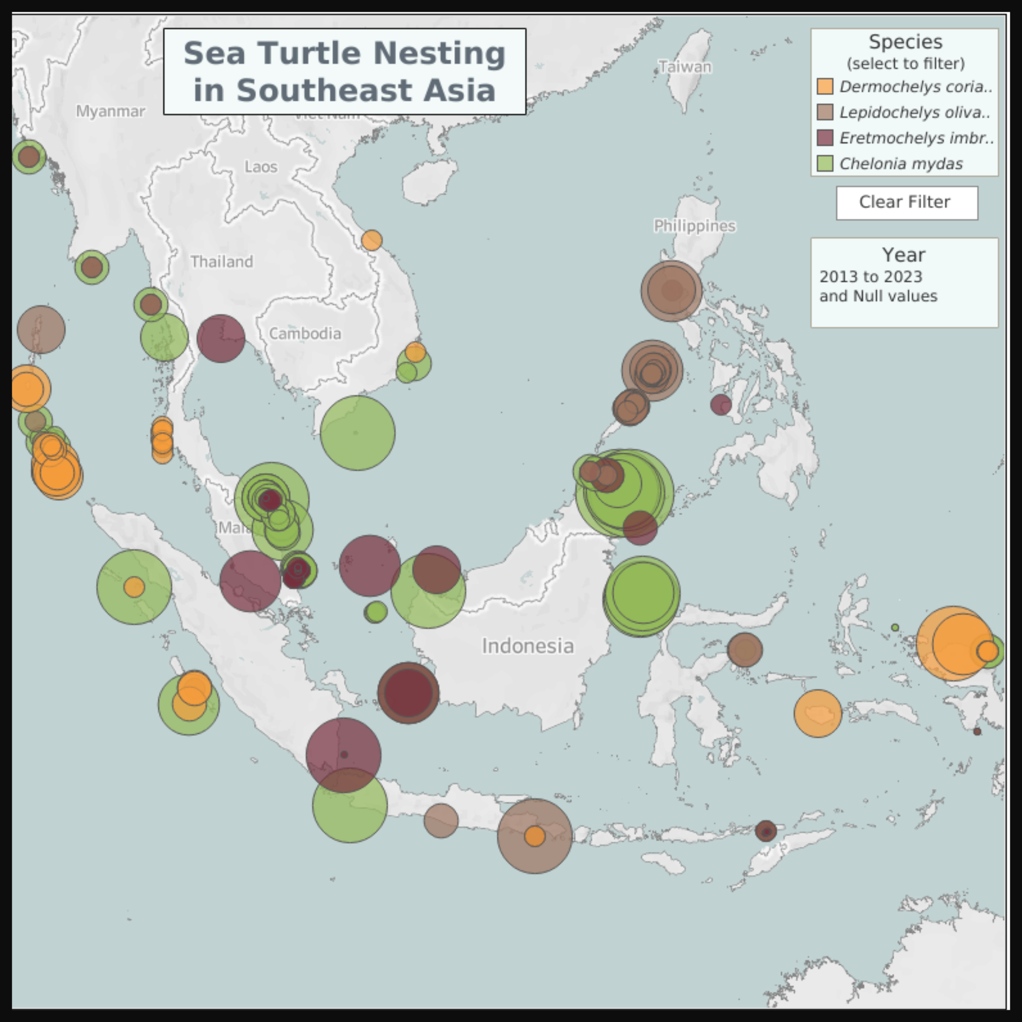
Interactive Maps